
Spatial Computing and Digital Twin Foundation
3D Visualization Engine
Digitize the physical world and make space an entry point for intelligent computing.Designed for digital twins, smart cities, and park operations, with spatial organization, real-time rendering, data integration, and interactive scenarios.
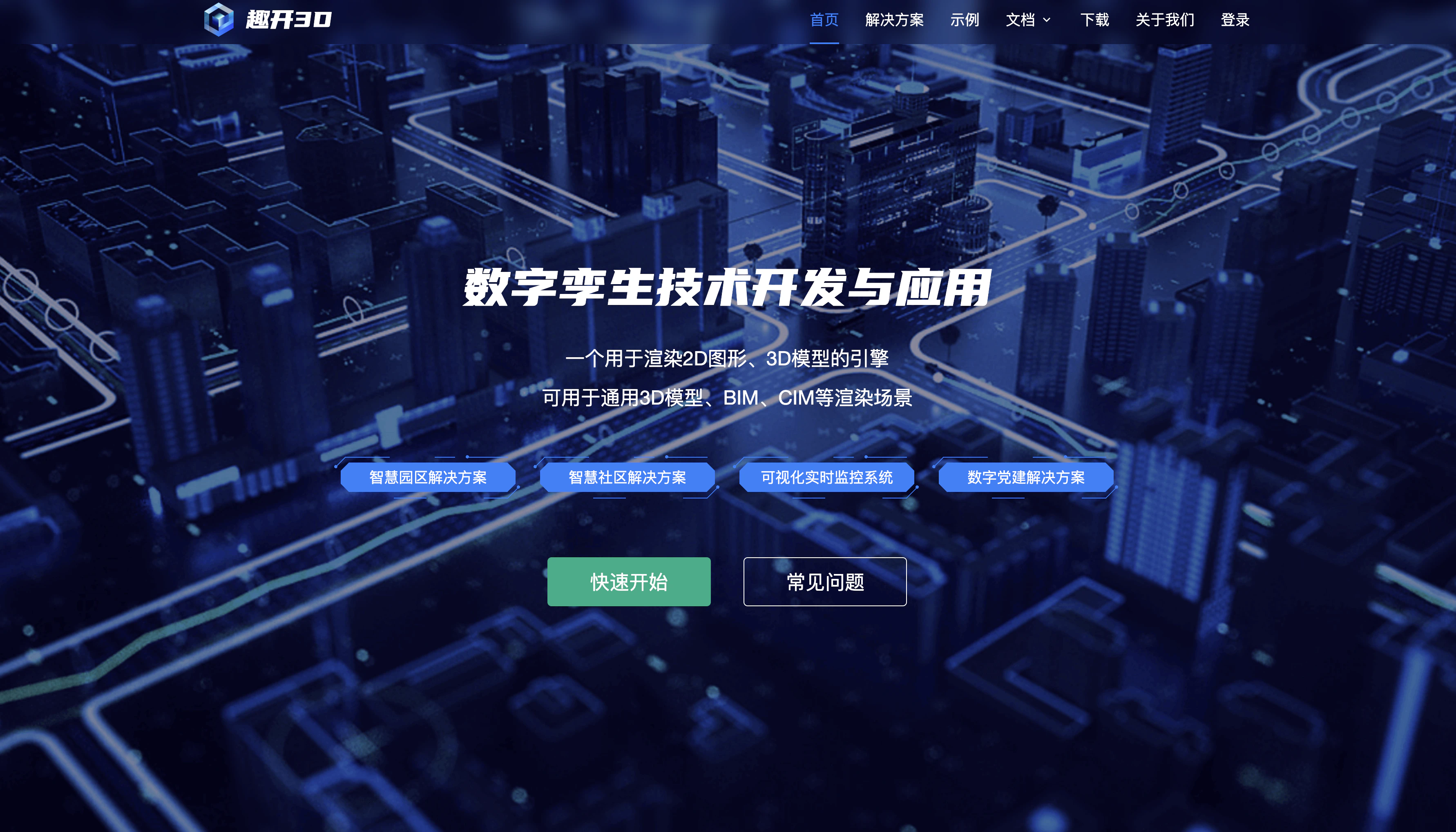
Turn complex physical environments into digital spaces that teams can understand, analyze, and operate
The 3D Visualization Engine brings photogrammetry, BIM, GIS, IoT, and business data into one high-fidelity environment across browsers and connected endpoints. Teams can inspect live conditions, trace events, test response plans, and connect spatial context directly to operational workflows.
A shared coordinate system, object relationships, and layer model organize spatial sources while telemetry, video, alerts, and business indicators remain attached to the assets they describe. Instead of a static model, operators gain a queryable scene that continuously reflects conditions in the field.
Delivery teams can begin with spatial ingestion and scene assembly, then connect work orders, inspections, command workflows, and analytical services as the project evolves. The same governed scene can be published to browsers, control-room displays, and mobile endpoints for sustained operations across cities, campuses, energy sites, and emergency-response environments.
Move from seeing a space to understanding and operating itMove from seeing a space to understanding and operating it
One Spatial Baseline
Combine spatial models, maps, and live device data into a shared digital foundation for cross-team work.
One spatial contextLive Situational Insight
Map alerts, events, people, and equipment to a 3D scene so operators can locate issues and related impact faster.
Faster diagnosisMulti-Endpoint Delivery
Build once for web, command centers, and mobile endpoints so digital twins become part of daily operations.
Reuse across endpoints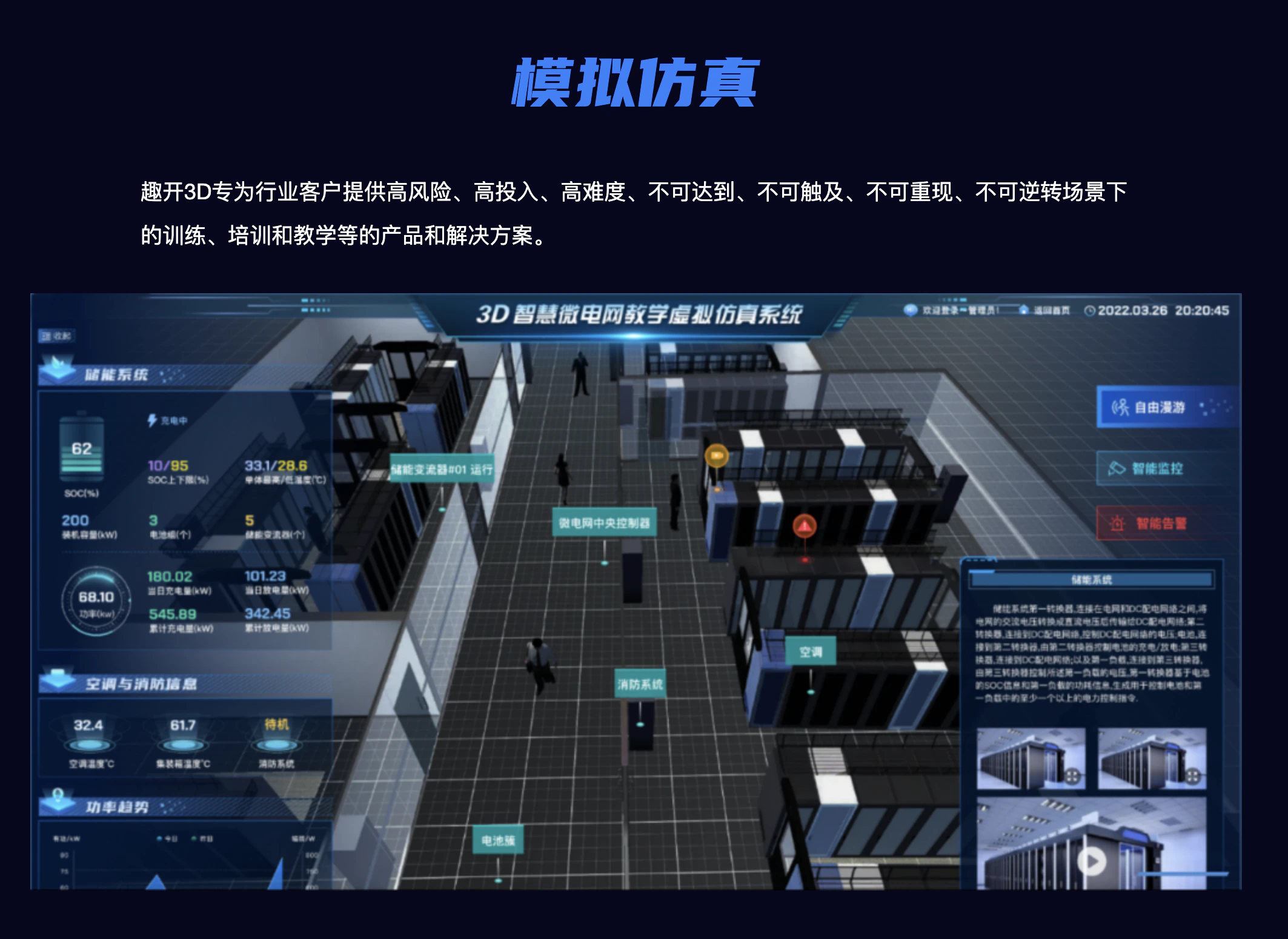
An enterprise spatial-computing capability system
Multi-Source Spatial Ingestion
Ingest BIM, GIS, photogrammetry, point clouds, and business models while preserving hierarchy and object relationships.
High-Performance Rendering
Layered loading, dynamic scheduling, and detail optimization keep very large scenes clear and responsive.
Spatiotemporal Data Fusion
Associate telemetry, video, alerts, and business metrics with spatial objects to create queryable context.
Simulation and Interaction
Model paths, coverage, impact areas, and operational plans while coordinating with external systems.
A complete path from data ingestion to continuous operations
- Input · Spatial data
Unify Spatial Data
Connect maps, models, devices, and business data through shared coordinates and object identifiers.
- Process · Scene composition
Compose the Scene
Configure layers, object relationships, business views, and reusable interaction rules.
- Collaborate · Operations
Connect Operations
Link alerts, work orders, analytical models, and control systems into a closed business loop.
- Output · Multi-endpoint
Publish and Evolve
Deliver to browsers, command screens, and mobile devices while evolving data and application capabilities.
Bring spatial intelligence to different operating environments
Smart Cities
Unify urban operating elements for regional awareness, event response, and decision support.
Industrial and Energy Parks
Connect facilities, production lines, and energy data to improve inspection, maintenance, and safety.
Emergency Command
Display risks, resources, and routes in one space to support simulations and coordinated response.
Digital Exhibition Halls
Organize content, data, and interaction in an immersive environment for connected online and onsite experiences.
Stable capacity for complex digital environments
- Complex Models and Multi-Layer ScenesBuilt to carry complex models and multi-layer scenes over time.
- Live Scenes and Continuous InteractionSupports a smooth interaction target for live situational views.
- Large-Scale Spatiotemporal DataOrganizes, queries, and relates large-scale spatial data.
- Web and Multi-Endpoint PublishingPublishes consistently to browsers, command screens, and mobile.
Bring product capabilities into real business
Move from seeing a space to understanding and operating itWork with Qukai to define the scenario, technical path, and delivery plan.